by John Jefferson
Back in the late ‘60s and early 1970s, I was part of an adventurous crew. We were canoe jockeys. Some called us canoe-freaks. Except when the Hill Country streams dried up from drought, we were either on a river or planning the next jaunt. We paddled the Guadalupe, Llano, San Marcos, Colorado – even several times on the Rio Grande –and other streams.
But other folks did, too. A few trespassed onto private or county-restricted land or bridges to launch or take out. Once, an entire Boy Scout Troop was arrested for taking out their canoes on a county bridge at the end of a float on the Blanco. And, on another trip, shots were fired from the bank. Some considered us “hippies.”
But our bunch was law-abiding, and passionate about the rivers, private property rights and the environment. The Travis County Judge was one of our organizers. The Texas Land Commissioner occasionally accompanied us. Others were lawyers, state employees, and friends. An 80-mile float through the Lower Canyons of the Rio Grande included a State Senator, the Secretary of the Senate, and other officials. About the worst thing anybody ever did was plant a Texas flag on the south bank of an international boundary. He took the flag with us when we left the following morning to avoid an international incident and a second war with Mexico.
We also floated the most photographed part of the river – Santa Elena Canyon. Water conditions prohibited our passing through the infamous and dangerous “Rockslide”, however. We chose a two-hour portage over and around the rock pile, instead.
The National Park Service now requires a permit for canoeists or other Rio Grande floaters. You can no longer just put your craft in anywhere and start paddling. Guides are also now available.
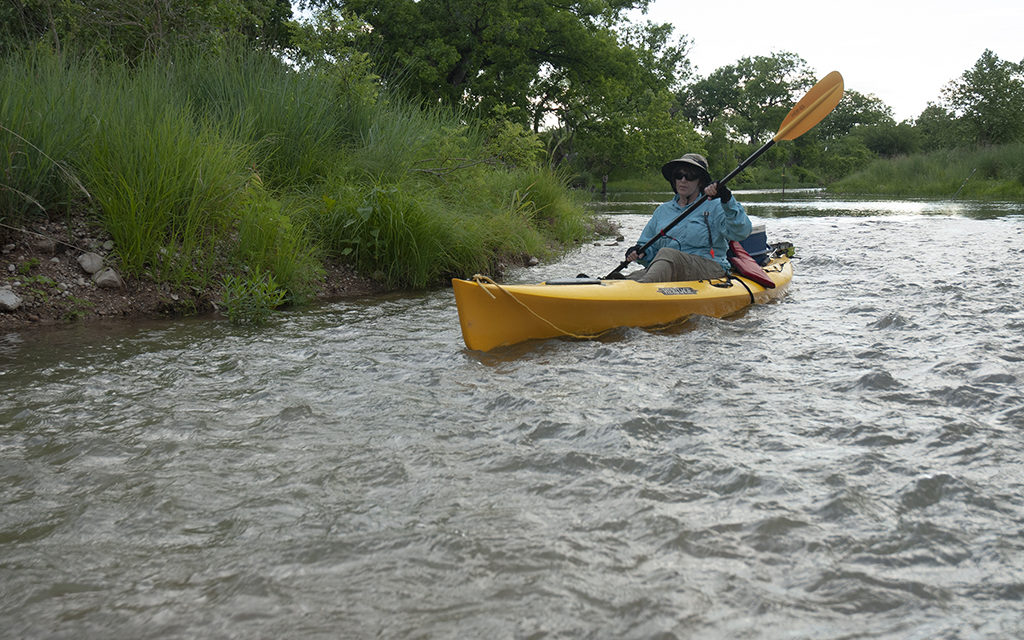
Things are enjoyably different floating and paddling, these days. Parks and Wildlife gets the credit for leasing 22 access points along popular canoeing and kayaking streams. Some require fees, but they’re reasonable. Readers can find a map and short description on the TPWD website. Click on https://tpwd.texas.gov and put “River Access” in the “Search block”.
Designation of the Texas Paddling Trails has also simplified and expedited planning and floating without breaking the law or encountering the authorities. John Boros is TPWD’s River Access honcho and told me there are now 141 access sites combined among the inland and coastal trails!
“We also partner with communities for inland and coastal access points via the Texas Paddling Trails Program (TPT)” Boros said. “These access points are usually located at county or city parks or at feasible road crossings.”
The Paddling Trails have been around a while and take a lot of mystery out of planning a trip. It’s not like Burt Reynolds and his three friends sitting around a topographic map wondering what that South Caroline/Geogia river looked like from the water they were planning to float in the movie “Deliverance.”
And the hillbillies from their adventure are nothing to worry about, either.
JJ


